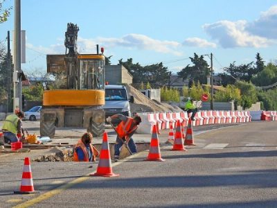
Keeping up with construction: utility mapping for 3D modelling

When the average person thinks of construction plans and designs, the image that usually comes to mind is an old school one: black and white architectural drawings that are printed, or even sketched onto large rolls of paper.
However, these types of 2D drawings are not as common as they used to be. Whilst the traditional 2D drawings are still relevant (and in some cases, perfect for the project purpose), our industry is increasingly turning to 3D modelling software for design work.
Civil and construction industry professionals from many of Queensland’s leading firms have embraced 3D modelling and recognise the benefits they provide across the different project stages:
- Design Phase – 3D models bring your design to life and allow almost anyone to properly visualise the project. This can be incredibly important in the early stages of the project when you still need to convince stakeholders and get them across the line.
- Planning Phase – a 3D model captures the whole picture. 3D models can be viewed analysed from all possible angles. This ensures that any clashes, missing information or design risks can be quickly detected.
- Construction – 3D models can minimise unnecessary delays during the construction phase. Since your 3D models helped your client visualise the build earlier in the process, it is less likely that the end product will differ from their expectations. 3D models are also incredibly easy to understand and interpret so there is little room for contractors to misinterpret your design when completing the building work.
If your firm is leveraging 3D modelling for your design work, make sure you are considering this capability when choosing your service locator.
Rather than wasting time having to translate utility location data from a report, seek out a locator that can provide you with the information you need in a format that is compatible with your software. Their deliverables can then be integrated directly with your designs.
Ideally, you want to engage them early in the process (during the design phase) so that they can locate the relevant subsurface assets at your site or development before you complete your design work. That way, this critical information can be fed into your design and any potential clashes can be detected and addressed earlier rather than later.
If you’re unsure of whether or not your service provider offers this, ask them what data formats their utility location data can be provided in.
Electroscan offers flexible data delivery and visualisation options.
Our team prides itself on being able to offer a range of data delivery formats for all of our detection and location services – from PDF photo reports, all the way up to 3D point cloud models.
We can deliver all of our survey and location data in a format that is consistent and compatible with all major engineering/design software (12d, AutoCAD, Revit, Navisworks, BIM).
Our utility data can be seamlessly integrated into your planning and design processes and we can even help you turn existing 2D plans and design documents into a 3D model for easy design and clash detection.
Electroscan offers utility detection, location and mapping services across Queensland to support all of your subsurface utility engineering needs. One of our strengths is our ability to deliver utility mapping that supports 3D modelling. Electroscan’s highly skilled team of detection and location specialists use a comprehensive range of innovative technologies and surveying techniques to deliver the data you need to manage your project risks, in the format you need it in.