Spatial Data and Modelling
We deliver bespoke and fit-for-purpose mapping and modelling solutions for all planning, design, or construction projects. From PDFs to Cloud Point 3D modelling, we provide accurate, insightful information in the way its needed.
With complete BIM capability, our mapping and modelling solutions are easily integrated with all major engineering software including.
- 12d
- AutoCAD
- Revit
- Navisworks.
Our specialists transform existing 2D plans into 3D models, enabling further visualisation of design elements in the site environment.
Key Services
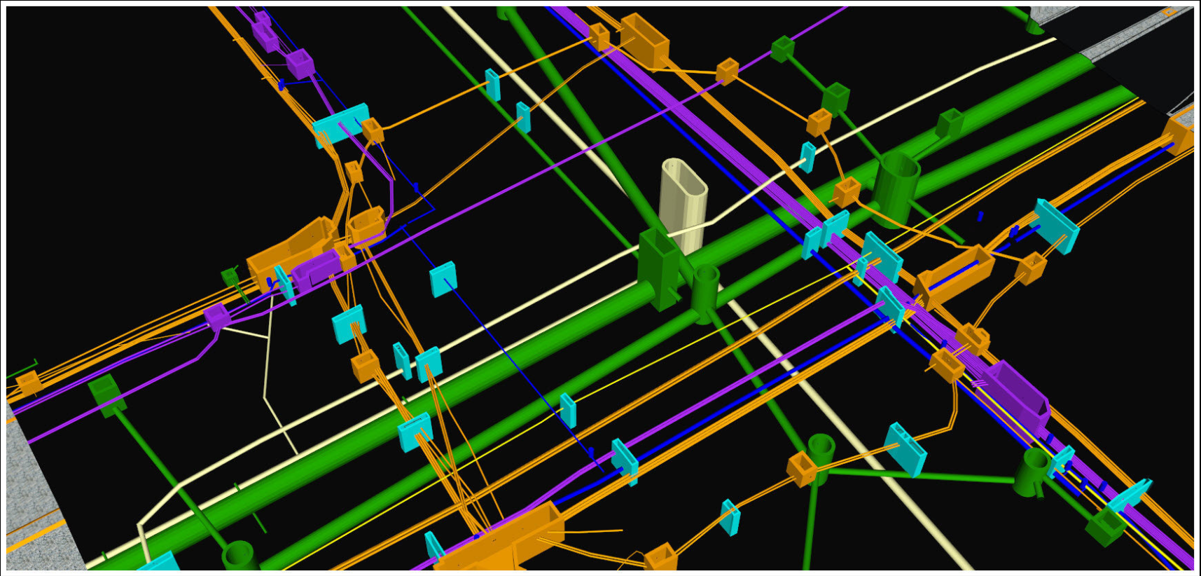
3D modelling
Communicate designs and visualise plans with precise subsurface utility data we gather in 3D format.

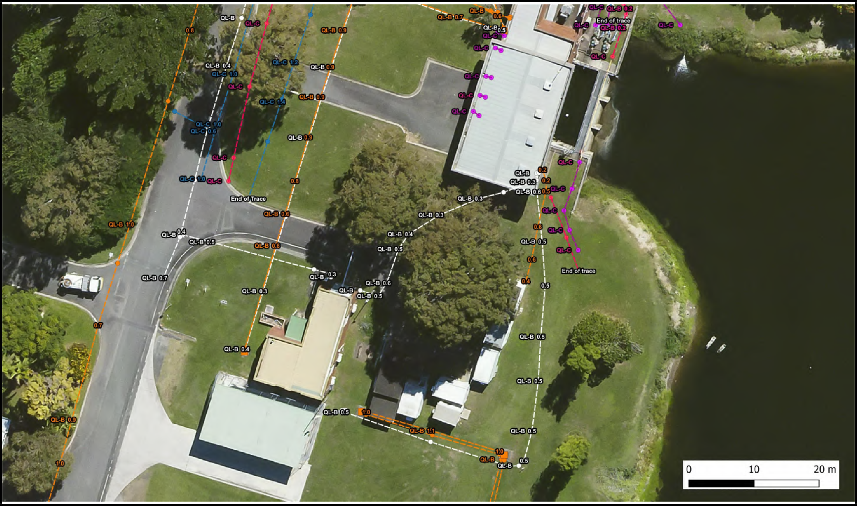
Photo reports, 2D modelling
A value-adding, cost–effective approach to capturing dimensions and technical details with TPS coordinates to achieve accuracy.

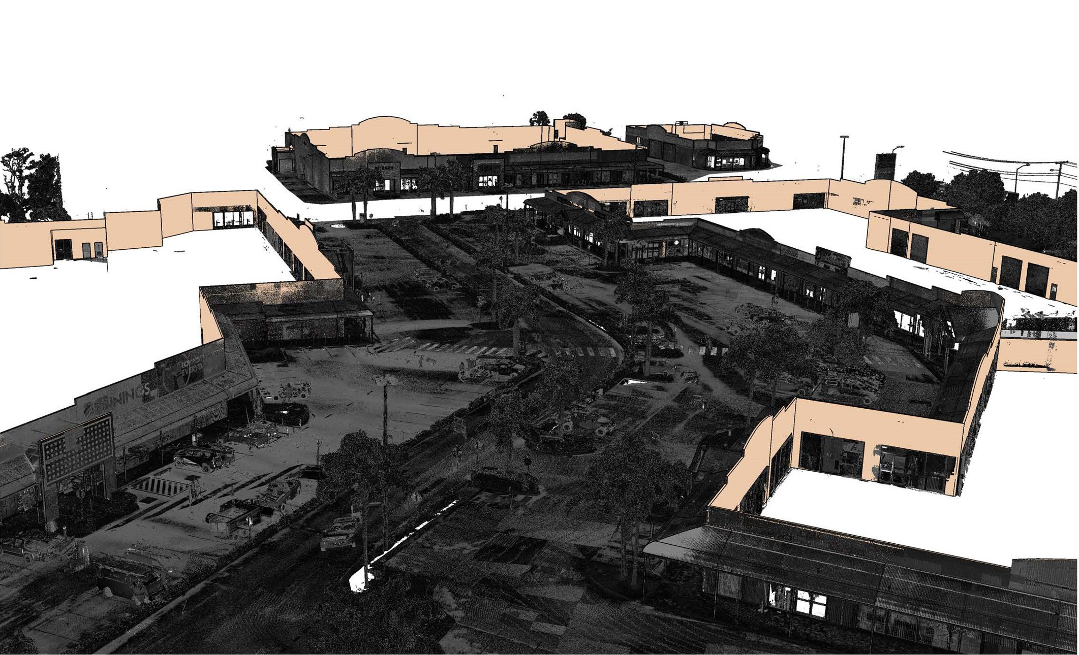
Spatial Data
3D laser scanning technology to capture point cloud data transformed into a 3D model.


